





















Walk the Tea Country in the Central Highlands
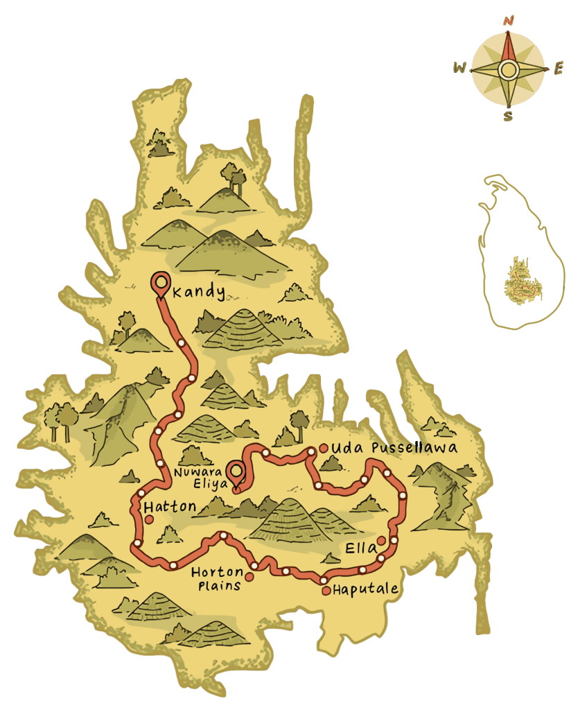
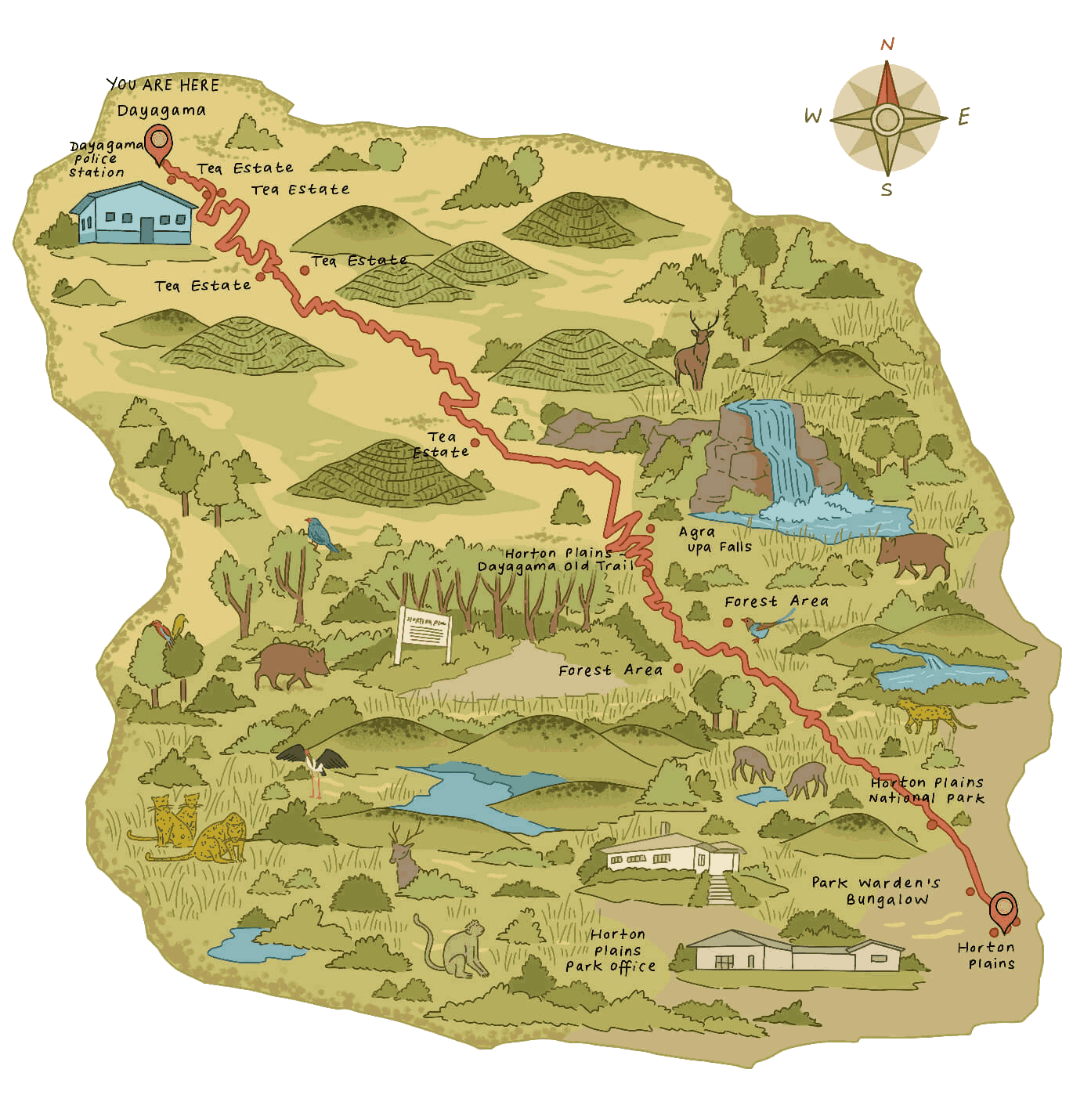
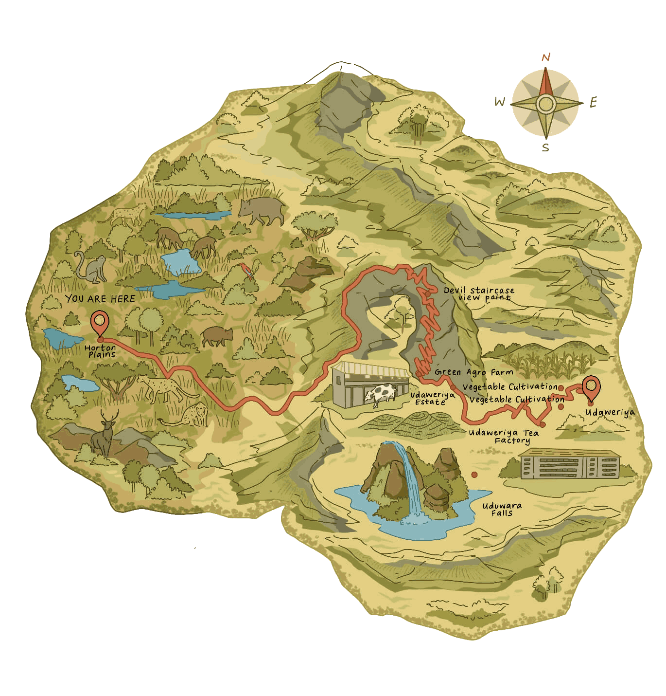
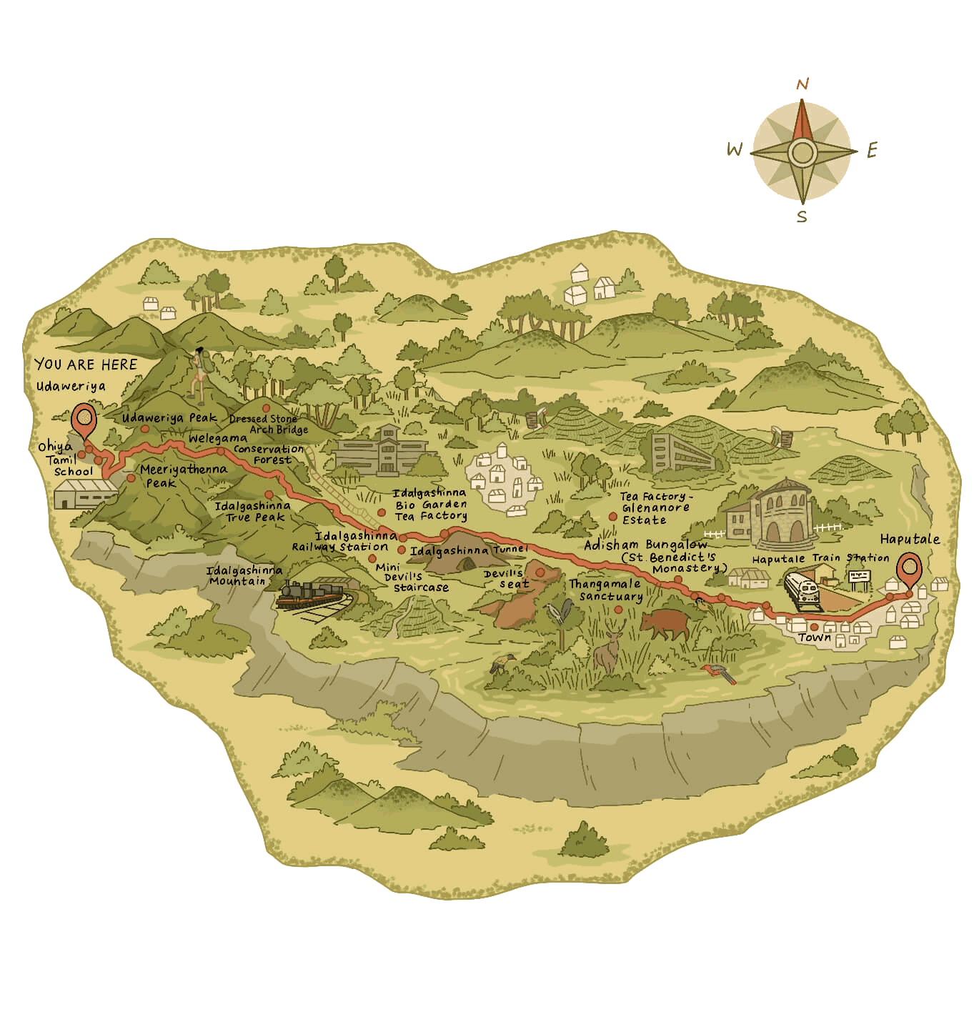
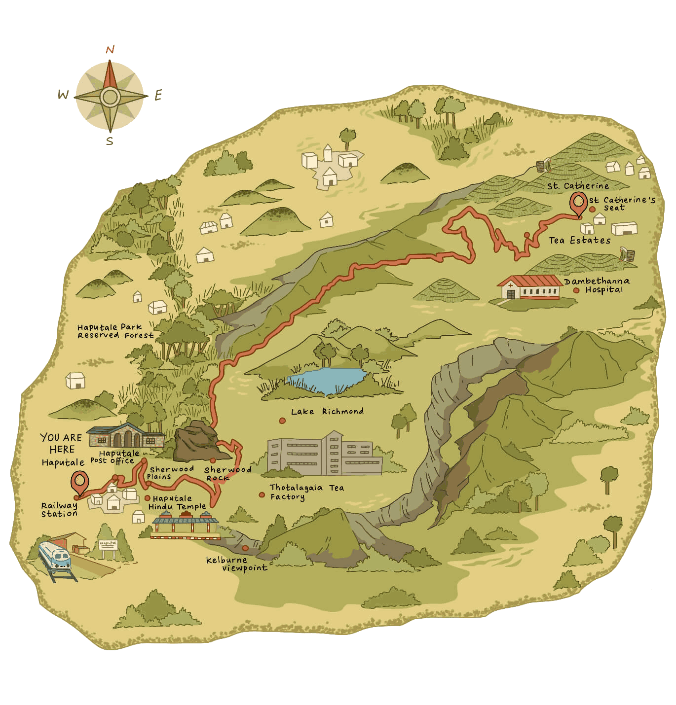
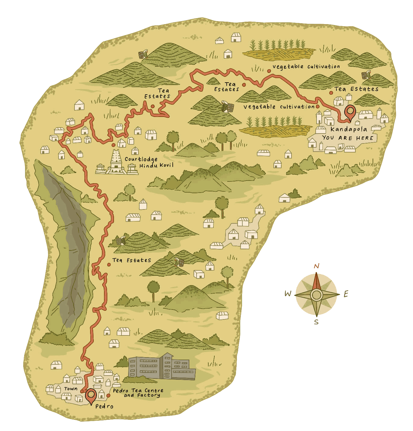
The Pekoe Trail is a 300+km walking trail traversing the central highlands of Sri Lanka. The trail is the first in a series of walking trails by Serendipity Trails designed to allow visitors to discover the varying terrain, history, culture, food, and local communities across Sri Lanka by foot.
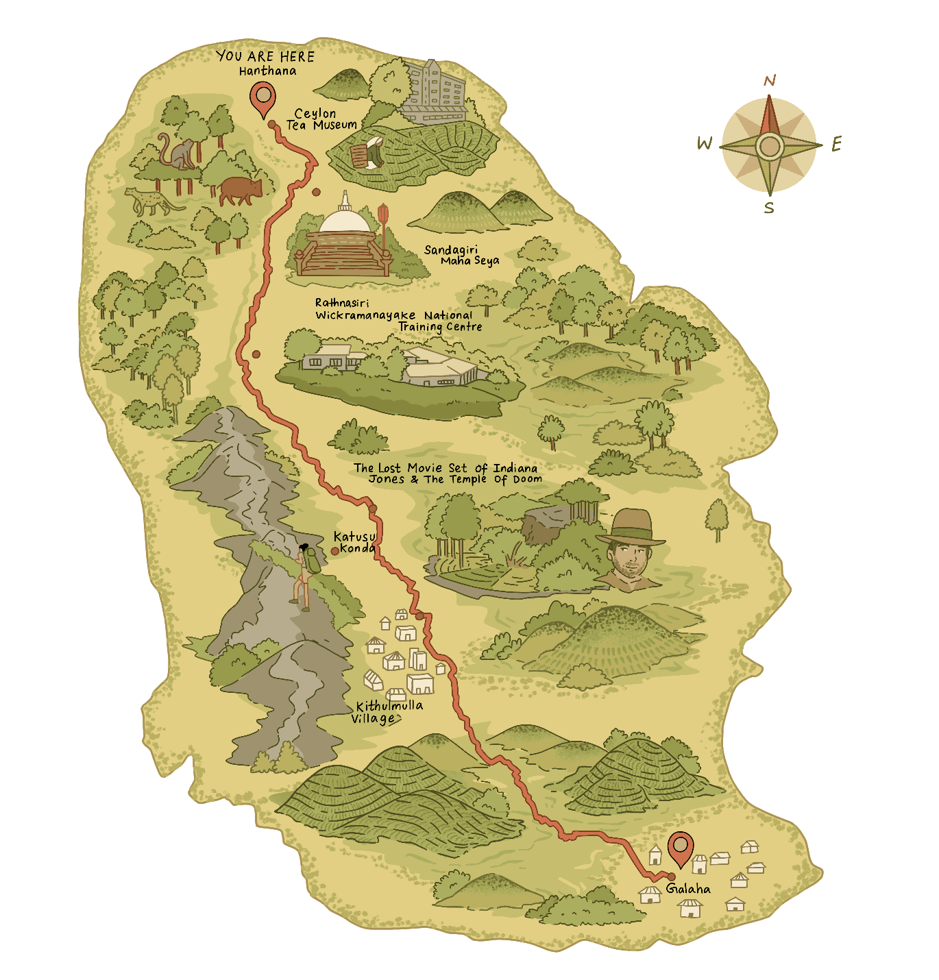
As the first of hopefully many long-distance walking trails in Sri Lanka, it is made up of 22 stages, which can be completed in short sections, or as part of a multi-day experience taking visitors through an eclectic mix of hilltowns, tea plantations, remote villages, sanctuaries, viewpoints, forests, and cultural and historical locations.
The interconnecting trail demonstrates the island’s diversity, encourages sustainable travel and brings economic opportunity to rural communities in order to promote a more holistic traveler experience that embraces adventure, nature, wellness, and sustainability.
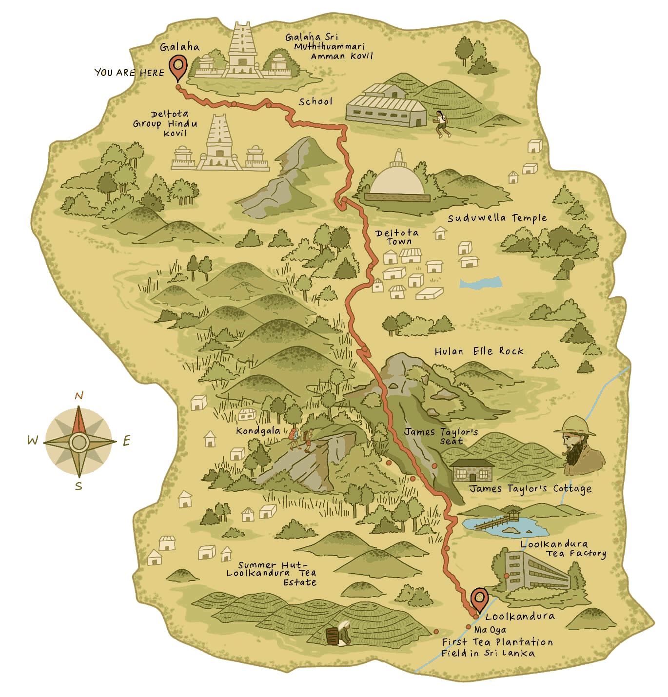
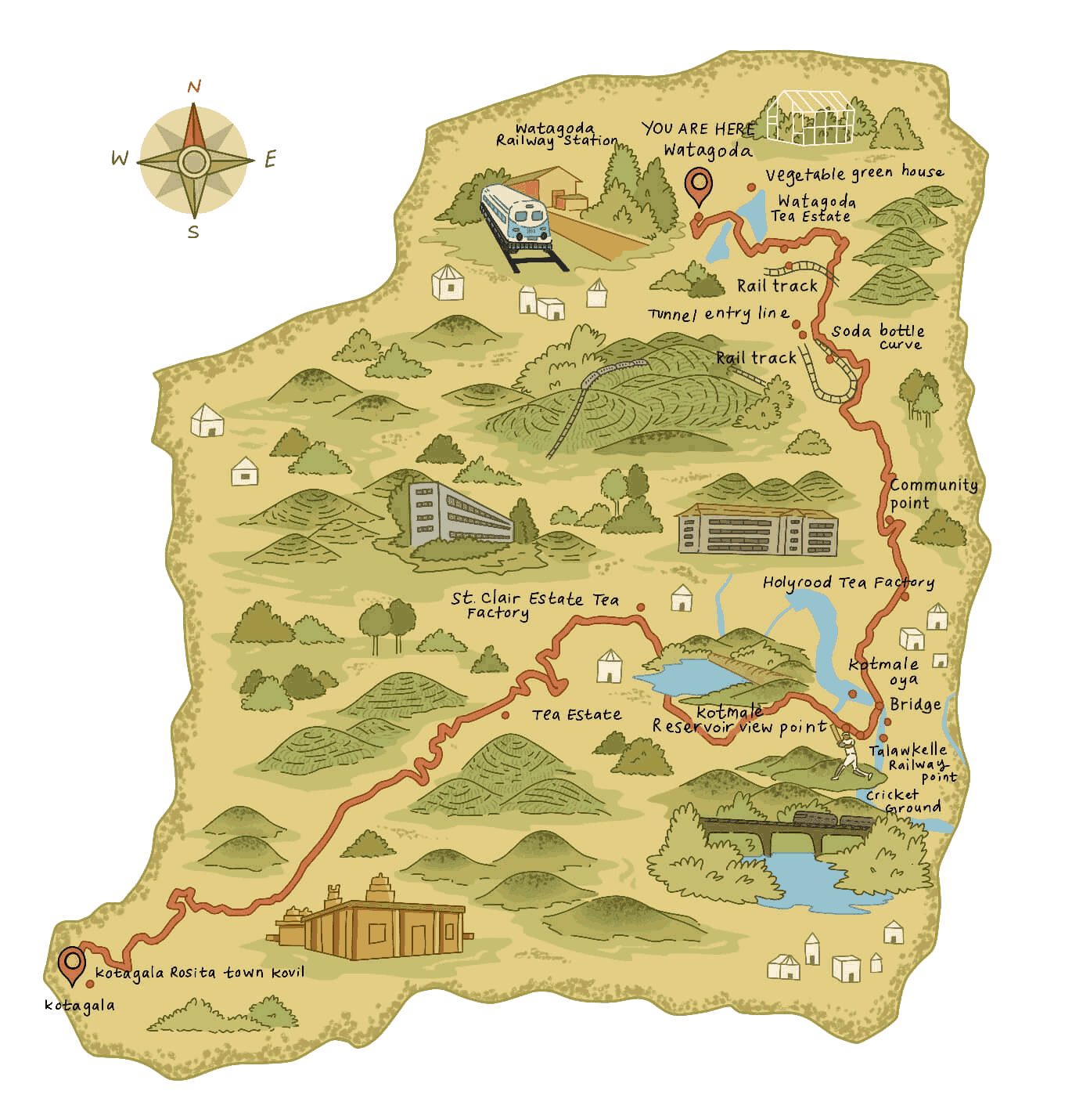
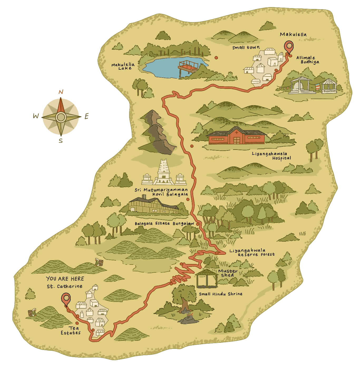
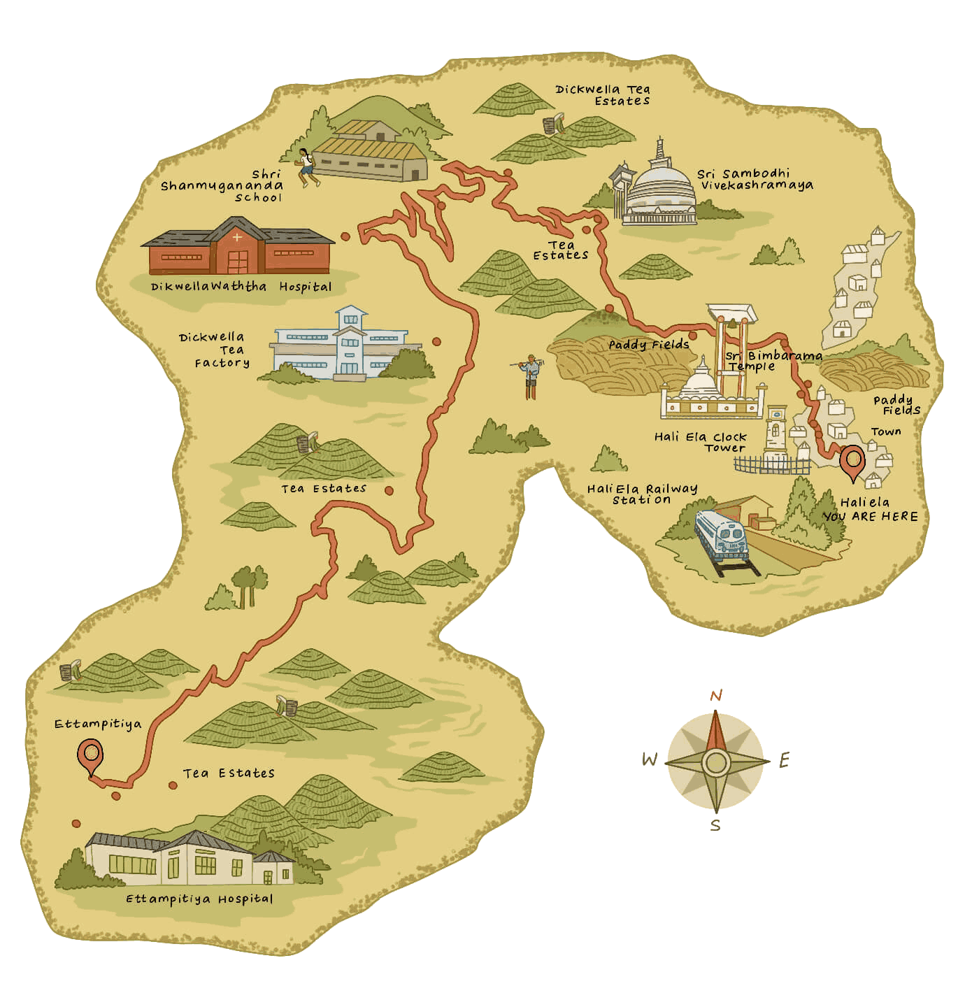
15.53 km (9.65 mi)
4 hours 30 minutes
Difficult
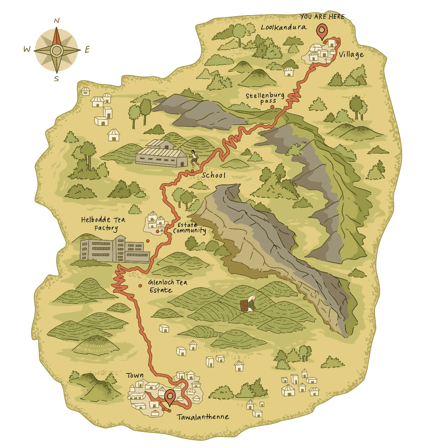
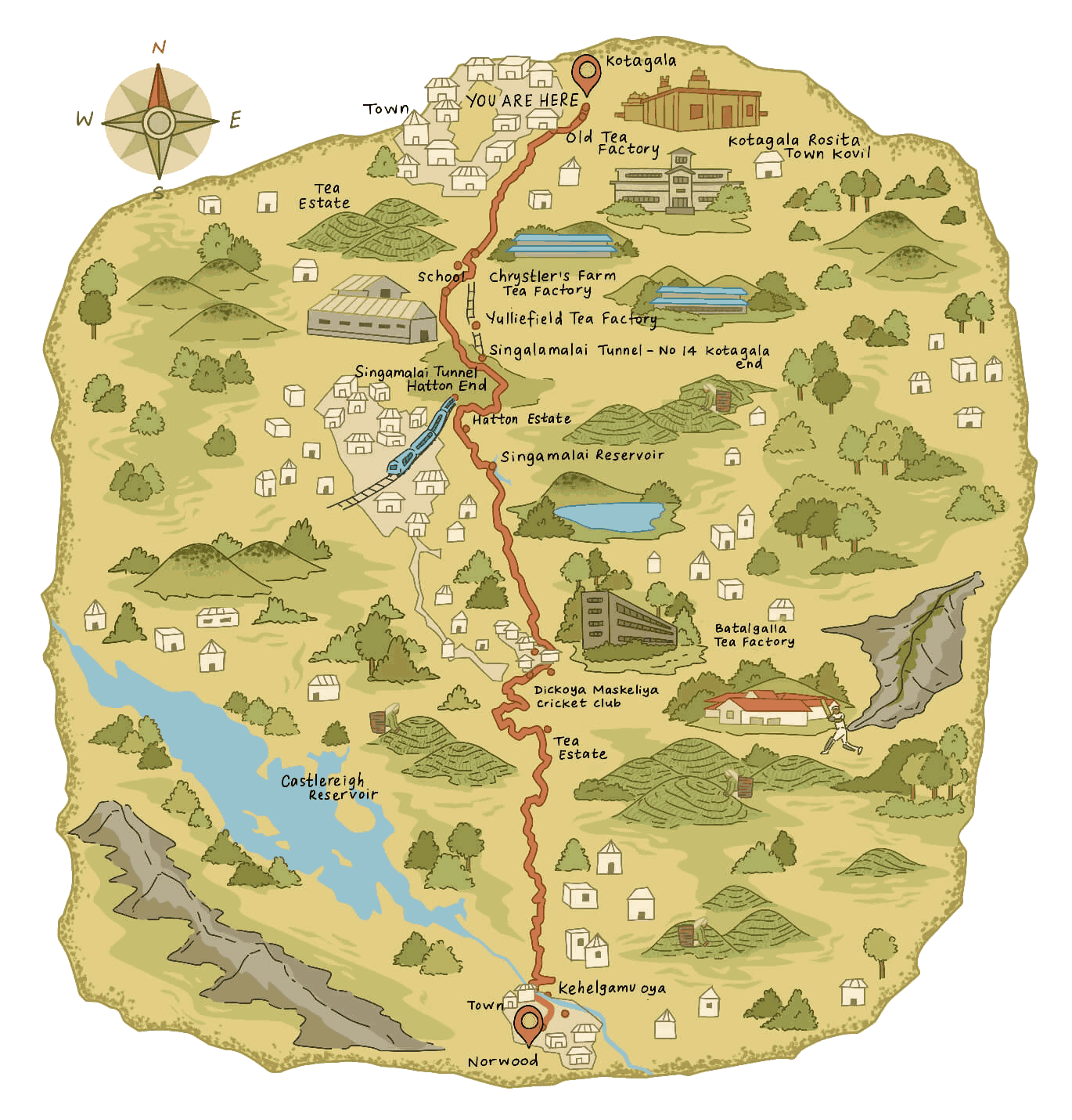
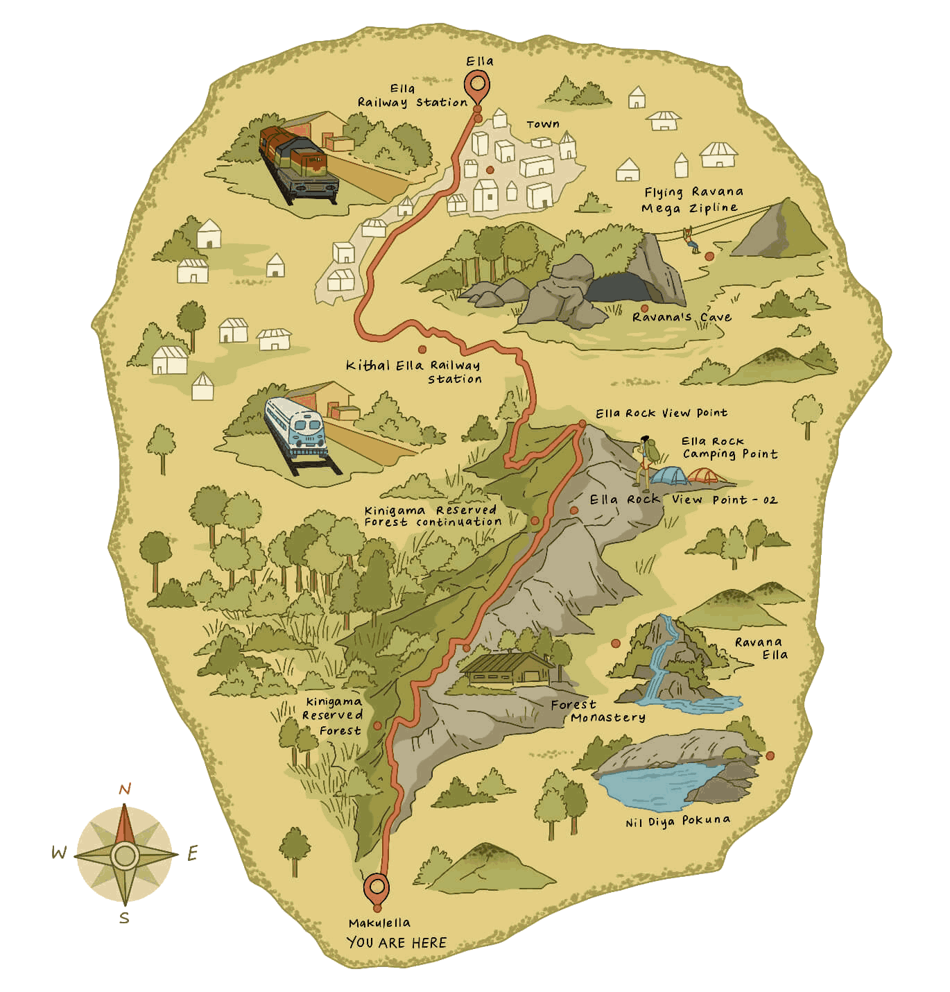
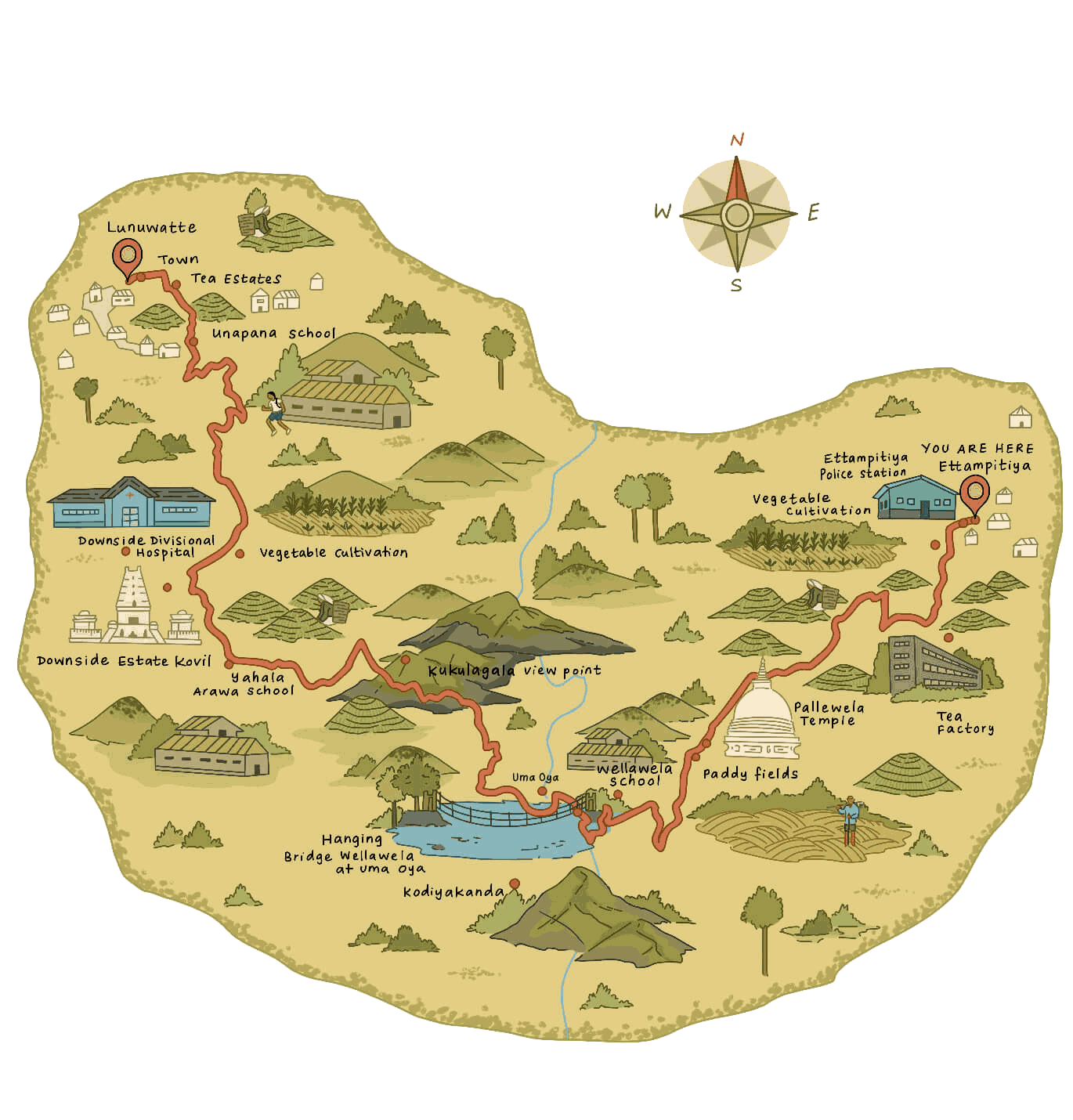
14.31 km (8.89 mi)
4 hours 30 minutes
Moderate
Special trail hours
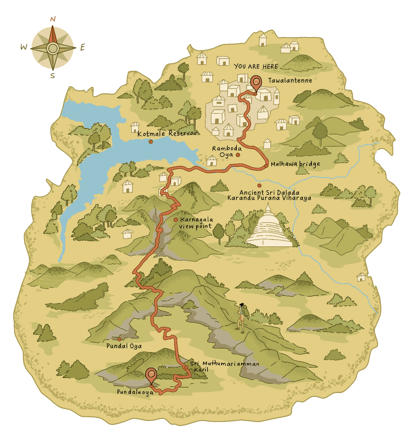
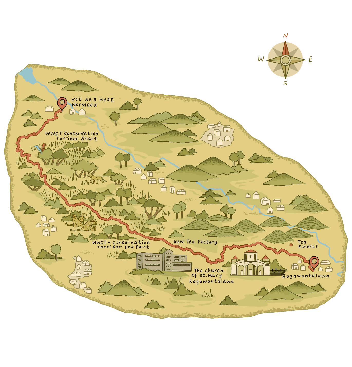
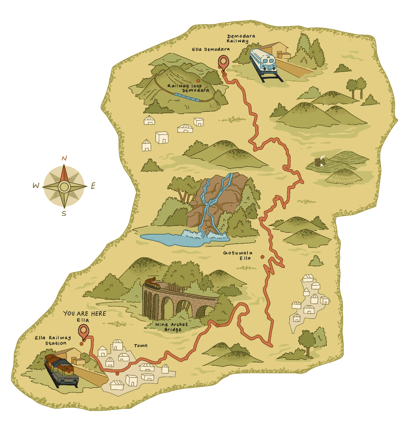
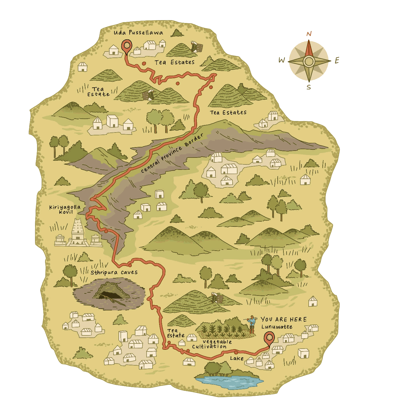
14.97km (9.3 mi)
4 hours 30 minutes
Easy
Special trail hours
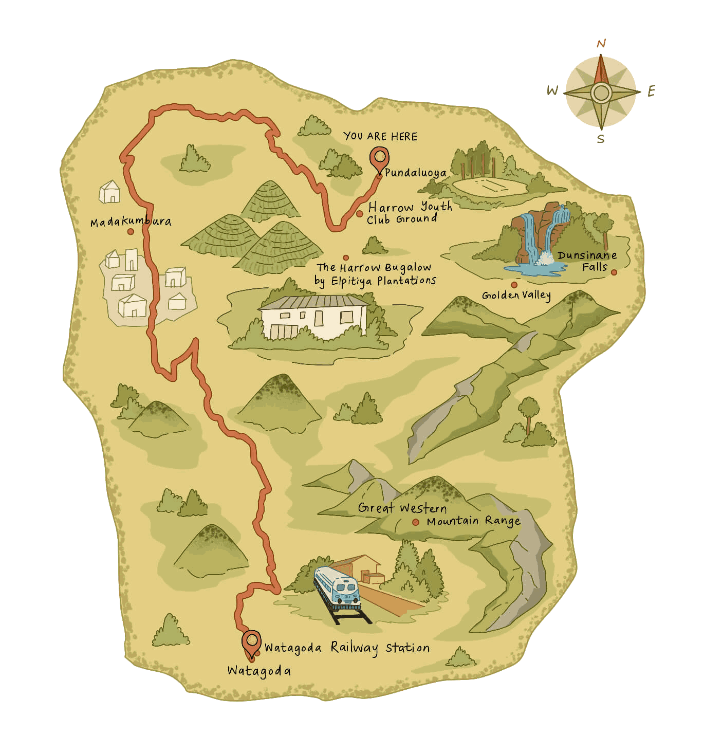
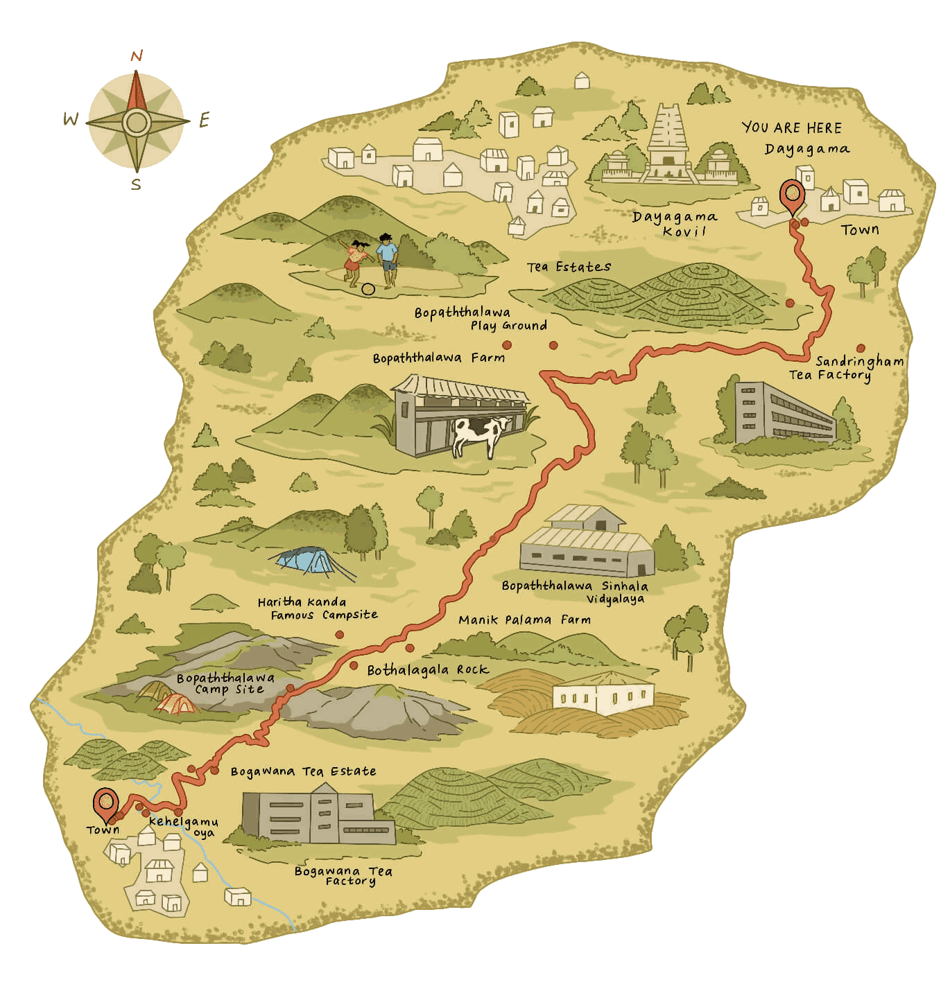
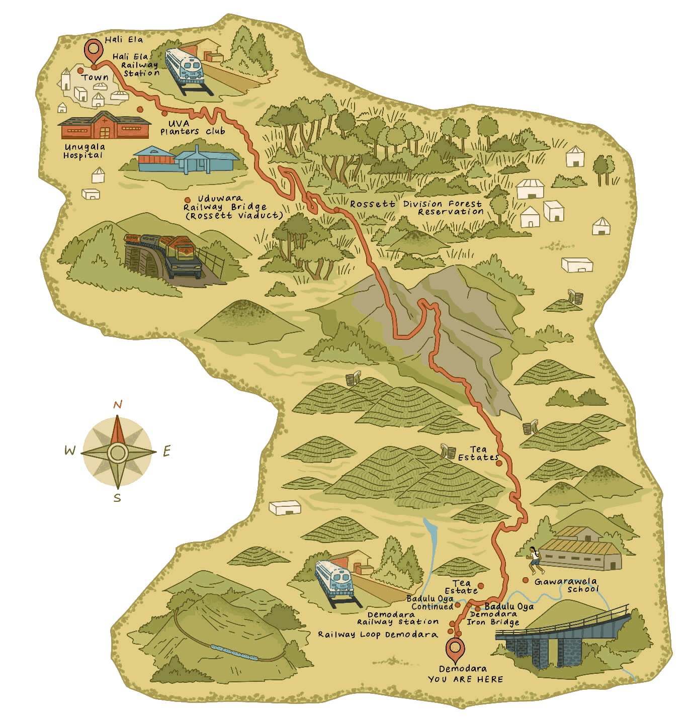
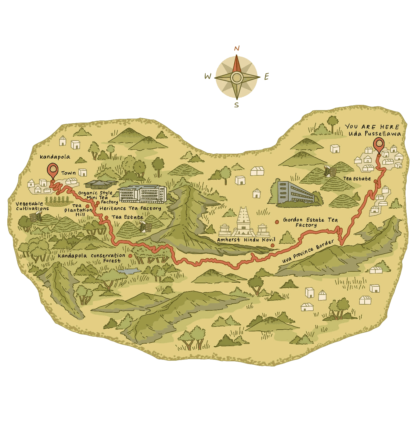
16.48km (10.24 mi)
5 hours
Moderate
Special trail hours
15.93 km (9.89 mi)
4 hours 30 minutes
Moderate
Special trail hours
15.88 km (9.86 mi)
5 hours
Difficult
Special trail hours
14.30 km (8.88 mi)
4 hours
Moderate
Special trail hours
13.63km (8.46 mi)
4 hours 30 minutes
Moderate
16.90km (10.50 mi)
5 hours 30 minutes
Difficult

Most Stages are open from 6am to 6pm. Some Stages are open shorter, specially in wildlife corridors and protected areas.

Certain stages may require separate tickets or permits issued by relevant authorities or landowners, including the Department of Wildlife Conservation, the Department of Forest Conservation and private landowners, where applicable.

Please make sure you have read through all the trail terms, conditions and safety guidelines

Your Trail Pass contributes to the ongoing maintenance and management of The Pekoe Trail, while helping support hiker safety through trail monitoring, condition updates and the ability to identify and contact registered hikers in the event of an incident or potential risk. It also supports trail upkeep, signage and the long-term sustainability of the trail, benefiting both the landscapes and communities along the route.